Mt. Buchanan
Kootenay Lake Forest District Recreation Site
Directions: From Kaslo, head west on highway #31A for 3 km to the Blue Ridge Forest Services Road, then follow signs. Follow the main road for 11.9 km to the lookout, staying right at the 7.0 km junction. This road is suitable for 2wd vehicles.
Mt. Buchanan was chosen as a fire lookout for its commanding view of surrounding mountains. Long decommissioned, but refurbished, that fire–lookout building now offers visitors the same vistas (indeed, the 360° panorama below was taken from its balconies). As there is a (rough) road to the top, Mt. Buchanan (elevation: 1908 meters) also provides visitors with easy access to upland wildflowers, birds and butterflies.
 To see the full–screen version of the dynamic panorama: click the cloverleaf icon.
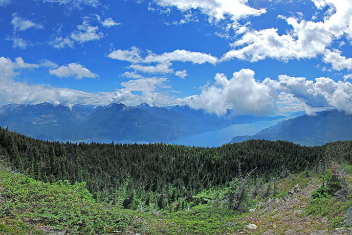 Located only a few kilometers to the northeast of Kaslo, Mt. Buchanan provides a commanding view of the North Arm of the Lake.
A 360° panorama from the fire lookout atop Mt. Buchanan.
Click and drag to move around, or use the buttons on the bottom to navigate, magnify, toggle rotation, or toggle the full screen view.
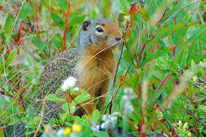 A Columbian Ground Squirrel looks out from near the summit of Mt. Buchanan.
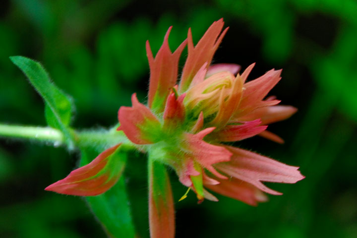 Wildflowers adorn the mountain. This is an Indian Paintbrush.
![]()